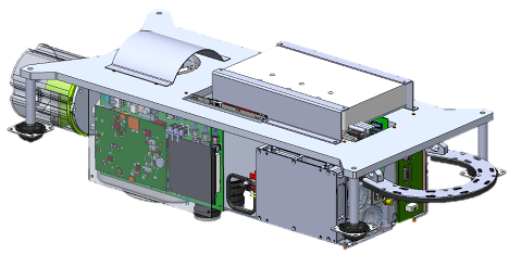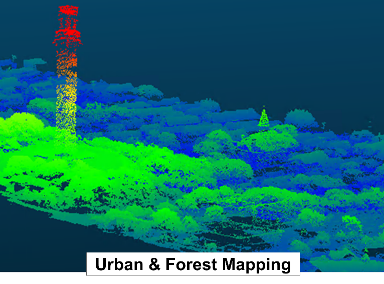
Airborne LiDAR Mapper
Key Features
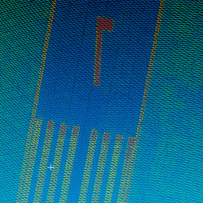
- Measurement rate: >2 Million points per second
- Range accuracy: 3 cm
- Flying altitude: 1,000 meters
- Pod mount Ø9.5” x 22” long, 45 lbs
Benefit to Customer
With greater than 2 million measurements per second, the lidar is capable of delivering high density data from over 1,000m flying height without sacrificing accuracy.